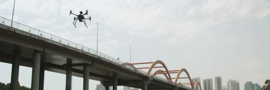
Regular inspections are crucial for communities to properly schedule maintenance and ensure public safety for aging bridges. Previously to inspect vertical supports for suspension bridges, inspectors had to make a perilous climb along suspender cables with their only lifeline being a harness. With previous DJI technology, teams were able to up-tool these inspectors with drones, significantly decreasing inspection times, increasing workspace safety and limiting expensive life insurance costs. An aerial view of a typical construction site gives a different perspective and helps to catch issues that
might not be noticed at ground level. Weekly drone maps can significantly reduce the amount of time you spend walking an entire site for the purposes of inspection and monitoring. If an issue stands out on the drone map, and warrants closer inspection,
Regular mapping flights have the added bonus of creating a complete, visual record of a site’s progress, which many project managers and site engineers find invaluable when it comes to exploring trends over time.

